Watching a landscape change over time can be an exciting experience, but there is one important question to ask: how can we accurately measure these changes?
Rivers of Carbon’s Goulburn District River Linkages program, nicknamed RoC GO, began in 2015 with landholders across 42 sites. The project aimed to improve stock management through thoughtfully-placed alternative water systems, fencing off riparian zones and planting native revegetation to improve local biodiversity. By 2021, the project had reached its sixth year and it was time to reflect on the successes and challenges experienced by the landholders who had partnered with us to deliver on-ground riparian restoration.
The Rivers of Carbon team – aka Lori and Mikayla, assisted by Lucy – revisited all 42 sites in December 2021, to check in with landholders, take photos of the project sites, and consider any future project proposals. An important part of this review was to quantify the changes seen in the landscape overtime. To do this we used the ‘Rapid Appraisal of Riparian Condition’ (RARC) scientific assessment tool.
What is a RARC?
First developed for stream systems in south-eastern Australia, the RARC incorporates geophysical, biological, and ecological indicators to understand riverine ecosystems. The five indices (Habitat, Cover, Natives, Debris, Features) work to reflect how ecosystem features influence many levels of function. For example, the RARC assesses abundance and location of vegetation to estimate bank erosion rates, organic matter creation, accessibility of habitat to fauna, and connectivity in the landscape.
Each index below includes a series of specific sub-indicators, which receive a score depending on their abundance, or lack thereof, in each site.

Habitat
Habitat considers the location and size of nearby vegetation to assess the level of suitable habitat for local fauna.

Cover
Cover accounts for ground cover, understorey and canopy to best understand the ecosystem complexities.

Natives
The site’s vegetation is divided into native and non-native species to provide an accurate description of the site’s state, which may be used in understanding which species thrive in that environment. This information guides revegetation efforts later in the project.

Debris
Debris considers any leaf and grass litter, fallen logs, and standing dead trees that ‘mess up and slow down the flow’ of water over the landscape.

Features
Features refer to four general groups: native canopy species regeneration, native understorey regeneration, large native tussock grasses and reeds. The presence of these features indicate microclimate records and stock abundance.
The trained RARC assessor then scans the landscape looking for particular signs of ecosystem health as dictated by the RARC. Once all indices have been given a score, they are added together to produce the site’s final score out of 50 points. The closer the score is to 50, the healthier the ecosystem is. The end result paints a picture of the entire area, highlighting which areas can be improved, and which are already healthy and strong. A key strength is that the RARC is repeatable – prior to works being undertaken each of the 42 sites had a RARC assessment – our review in 2021 enabled us to compare the before and after scores of works just a few years into the restoration process.
Why is it useful?
The RARC is particularly useful as it can be tailored to particular natural systems (i.e. wetlands, rivers, lakes, dams, flood plains). This involves weighing different indices higher or lower depending on the type of environment. In a wetland environment, for example, canopy cover and associated debris (large logs and leaf litter) are given less importance. Meanwhile, abundant features like native tussock grasses and reeds are vital signs of a healthy wetland ecosystem, so are weighted more heavily as a result.
This tool is also beneficial for standardising site assessments. The indicators negate the need for specific species identification skills, replacing them with absolute measurements (i.e. width of river channel and proximity of closest vegetation patch, both in metres) and broad categories (absent (0%), scattered (1-30%), present (30-60%), abundant (<60%)). The absolute nature of the RARC categories help to maintain a high level of assessment accuracy, barring a PhD in ecology. This is particularly useful when RARCs are taken years apart or by a different person.
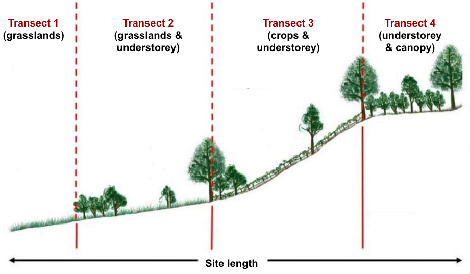
Finally, the RARC considers an important aspect of nature: variability. Within any property, there is variability in the vegetation type and density, soil moisture, microclimate, fauna, and features. In order to account for this variability, the RARC uses transects. Transects are a scientific tool for field work that divide a site into even sub-sections, in this case quarters. By assessing each transect and taking the average, no one ecosystem indicator is over/underestimated. This gives a more complete and accurate understanding of the site.
A picture is worth a 1,000 words
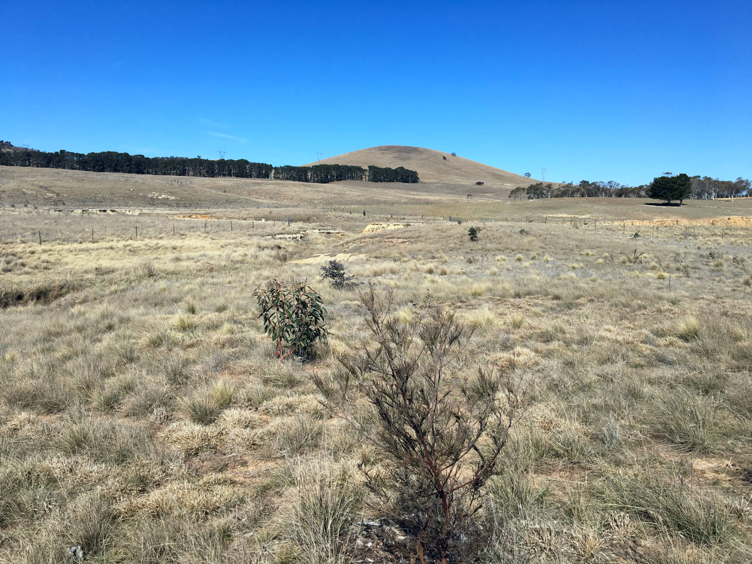
When revisiting all 42 RoC Goulburn sites in 2021, photos from designated photopoints were taken to recreate the photos from previous years. This is particularly useful to compare the same site many years later, through fire, flood and drought. If you’re interested in learning more about photopoints and how to use them on your property, visit our “Photo monitoring explained” article.
The photos below help to visualise the changes that the RARC records. Have a look through the before and after photos at RoC Goulburn properties and see if you can spot changes in habitat, cover, natives, debris and features.
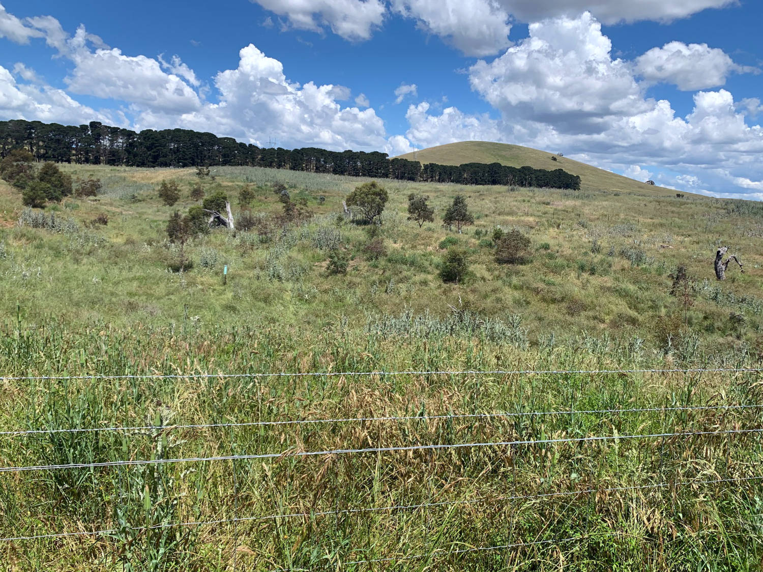
Between April 2017 → December 2021, this property saw weed removal and the addition of native plants along the watercourse, increasing biodiversity and habitat for local fauna.
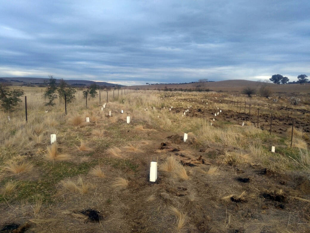
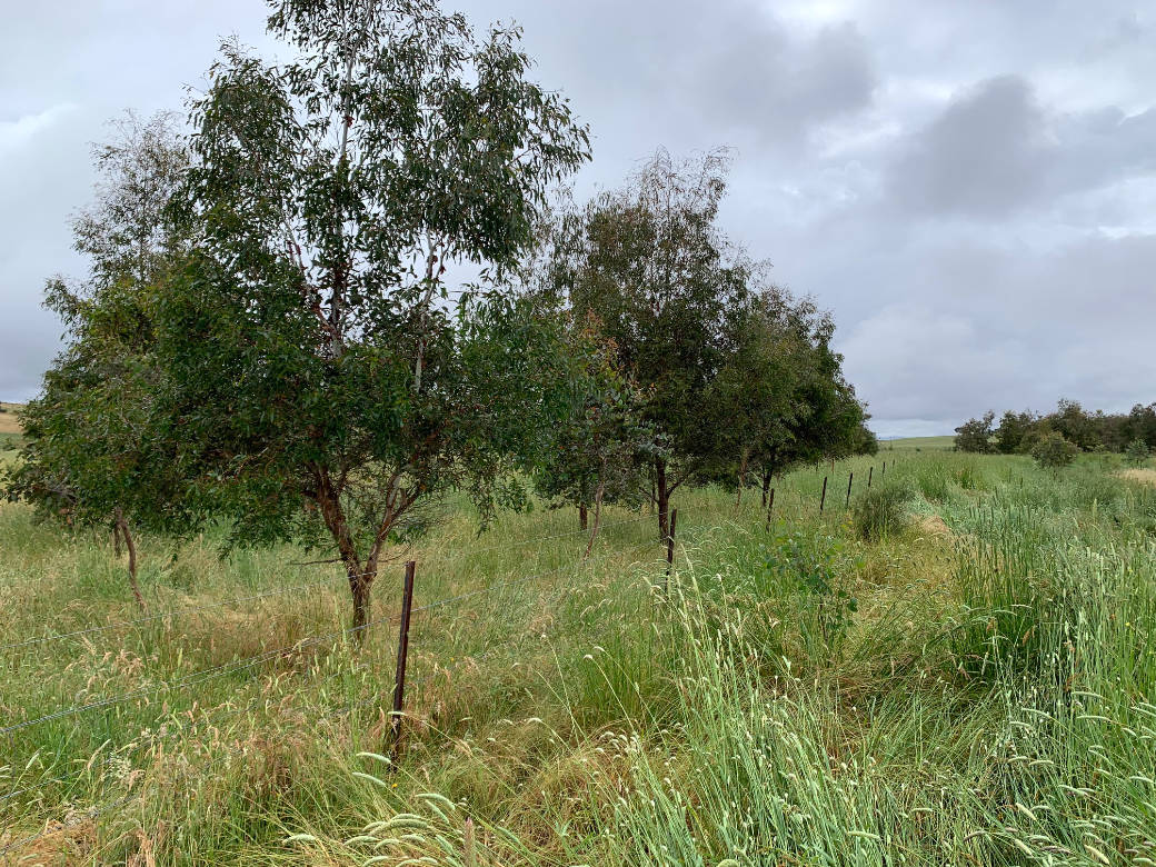
From January 2018 → December 2021, this property has seen a huge transformation from barren river banks to dense riparian revegetation. The tubestock have shot up to provide shade for stock and native animals, alike.
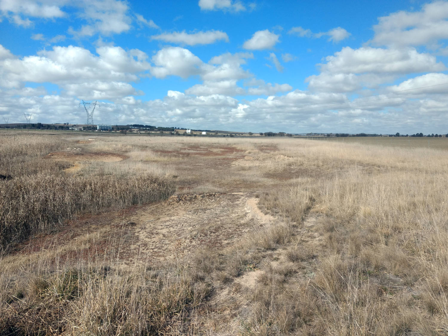
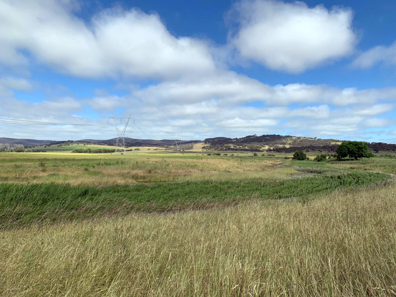
In October 2018 this paddock was home to improved pasture species. By November 2021 the water had returned, encouraging the growth of native reeds and providing a life source for the planted tubestock.
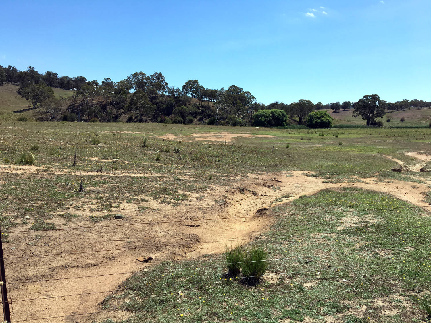
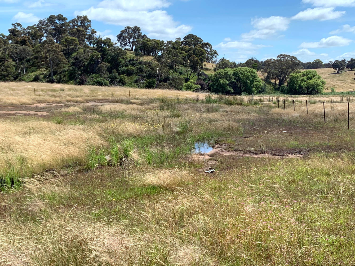
Between January 2019 → December 2021, this site saw an increase in ground cover from native grasses and understorey, which helped to retain moisture on the sloping land.
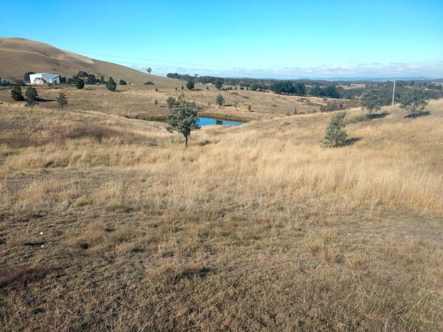
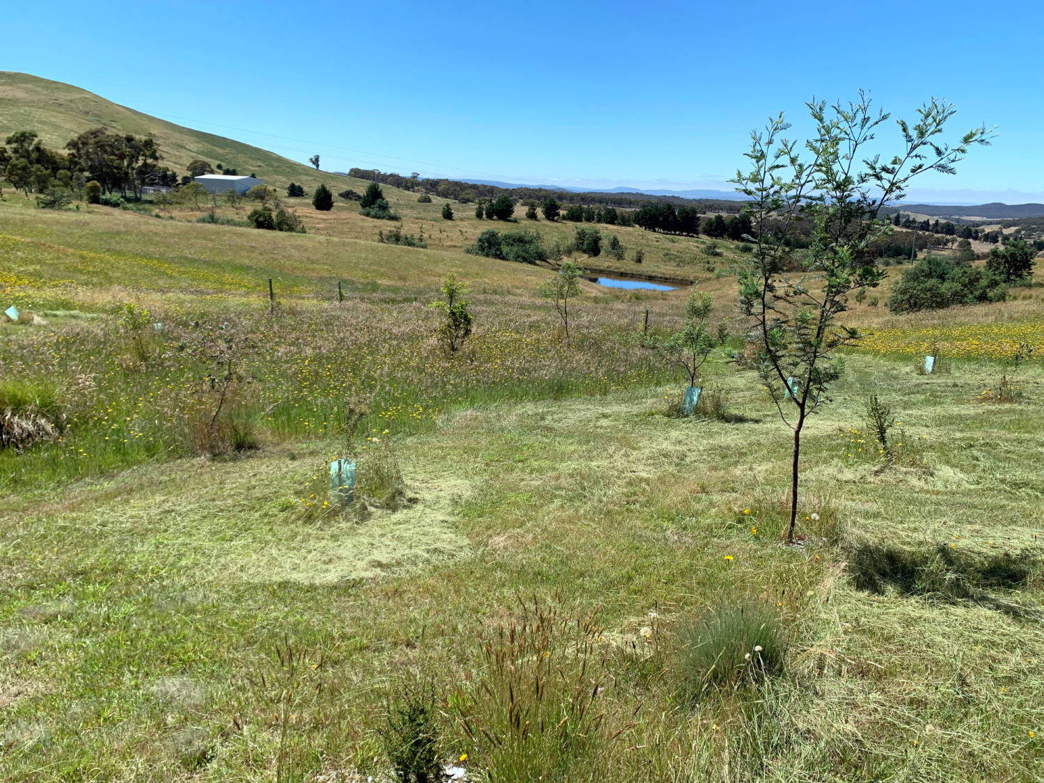
Since May 2018, native reeds and tubestock have repopulated the landscape. By December 2021 there is a noticeable difference in ground moisture content and biodiversity.
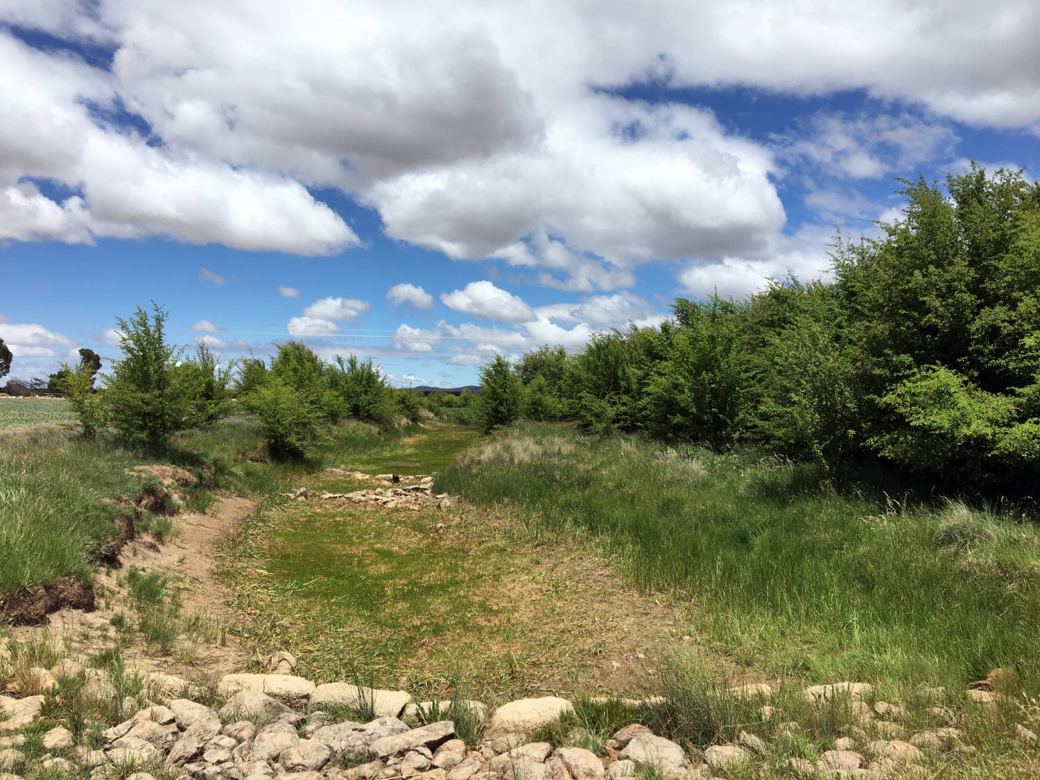
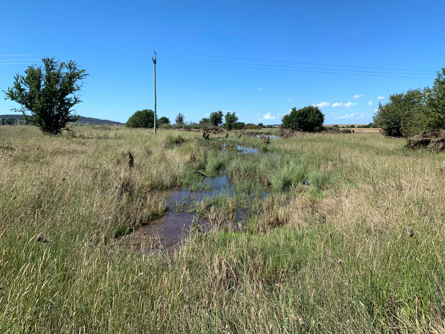
This site saw extensive Hawthorne weed removal from August 2019 → December 2021. The river banks are now more clear of the invasive species and are ready for native plantings.
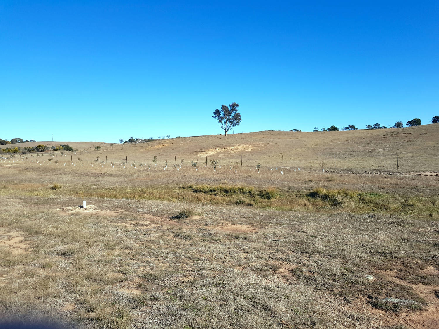
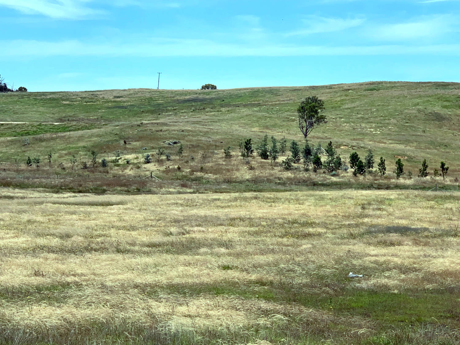
From January 2018 → December 2021, the salty banks of this creek were revegetated with hardy, native species to take up the salt and slow the water off the surrounding ridges.
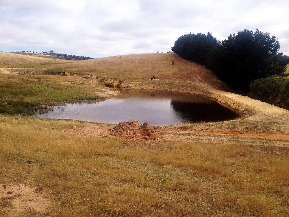
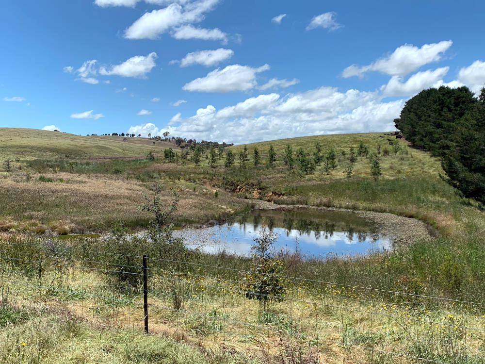
This dam was planted-out beginning in February 2017. By November 2021, the tubestock have begun to mature around the water helping to secure the soil when ground cover reduces.
What have the RARCs revealed?
Good news! All 42 Goulburn site RARCs have increased their score since the project’s beginning. On average, the initial RARCs returned a score of 16/50. By 2021, the average had increased to 24/50. That’s a 50% increase in an average of just 3 years! While some of the ecosystem benefits seen in ground cover and associated riparian width are likely due to the good seasons in 2020 and 2021, other factors are a direct result of the RoC Goulburn project. The amount of native understorey, native leaf litter, native ground cover and native species regeneration increased significantly due to RoC works.
What’s next?
Although trees have all been planted, fencing constructed and erosion managed, the project is far from over. Rivers of Carbon is dedicated to continuing landholder relationships and measuring site progress through the years. Landholders play a vital role in the RoC program and we look forward to seeing each of them again in 2025 for the final RARC of Rivers of Carbon Goulburn District River Linkages.
If you’re interested in joining a RoC project, our Source Water Linkages program for the Sydney Water Catchment is now providing opportunities for landholders in the catchment region.
Resources
Image credits
Photo credits: Lori Gould (before: 2017-2019) and Mikayla Hyland-Wood (after: 2021).
All icons courtesy of NounProject.com:
- Habitat: River by tulpahn
- Cover: Shade by WEBTECHOPS LLP
- Natives: Gum Tree by Anna Hatzisavas
- Debris: Logs by Slurp Design
- Features: River by Lưu Trọng Nhân
Rivers of Carbon – Restoration Approach
We do not believe there is one discipline called ‘River Restoration’, rather, we believe that biophysical, social and cultural knowledge needs to be brought together to ensure we work alongside landholders and their communities. Here you will find the resources that guide this philosophy, and how we put it into practice.
