What is photo monitoring?
Photo monitoring is the process of taking repeated photos over the course of a project’s lifetime. It’s an easy and effective method of monitoring vegetation and ecosystem changes. This allows for landholders, project partners and funding bodies to visually confirm the change in a riparian landscape over time. Photos provide objective evidence of a project’s progress, providing a visual assessment of whether native vegetation is thriving, or struggling. This informs future decisions about managing the area, perhaps supplementary watering is needed or new native species chosen.
 Petrie-WEB")
 Petrie-WEB")
Before (2018) and after (2021) photos taken from the same perspective show powerful change in the landscape. Photo credits: Lori Gould (2018) and Mikayla Hyland-Wood (2021).
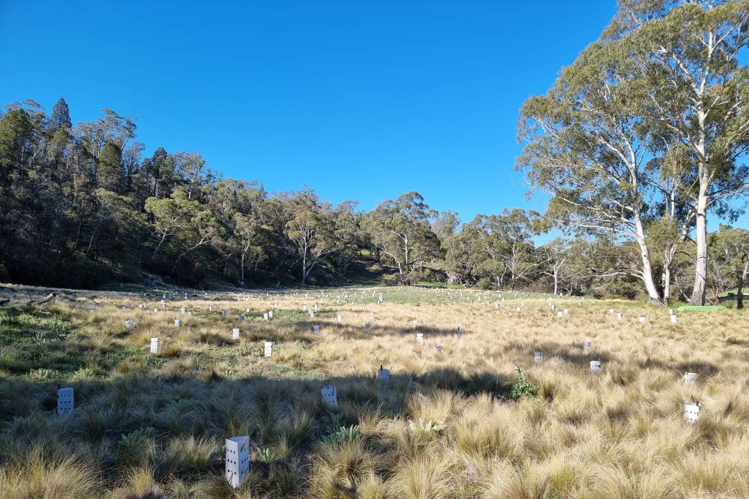
The importance of photo monitoring
Photo monitoring is a great ecological tool enabling a visual record of changes over time to be created. There are a few things to keep in mind:
- Objectively assesses the success/impact of restoration projects
- Interesting to see progress for landholders, partners and funding bodies
- Easy to visually keep track of native vegetation growth
- Shows how climate/season/stock are affecting the project
- Shows which species are thriving on the property vs those that are struggling
- Helps to inform larger scale projects for the benefit of people and place
 Erwin-WEB")
 Erwin-WEB")
Before (2019) and after (2021) photo monitoring set showing revegetation along the stream banks after fencing out stock. Photo credits: Lori Gould (2019) and Mikayla Hyland-Wood (2021).
How to set up a photo monitoring point:
- Choose a photo point that provides a good, representative view of the project area
- Use an existing corner post, strainer post or install a freestanding post to mark the spot
- Keep in mind that plants will grow over time, stand far enough back from works
- Label every photo with the photo monitoring point #, date, any important information

When to take photos
- Before any work has started
- After land is prepared
- After initial planting/sowing/building
- At regular time intervals (1 year is best to catch the same season)
- After any natural disaster events (i.e. fire, flood)
This video below was produced by the Yass Area Network of Landcare Groups and provides a great overview of how to use photopoints in your restoration projects.
This video produced by the Yass Area Network of Landcare Groups provides a great overview of how to use photopoints in your restoration projects. You can view the video below.

Rivers of Carbon – Restoration Approach
We do not believe there is one discipline called ‘River Restoration’, rather, we believe that biophysical, social and cultural knowledge needs to be brought together to ensure we work alongside landholders and their communities. Here you will find the resources that guide this philosophy, and how we put it into practice.