Rivers of Carbon –
We are honoured to work on the ancestral lands of the Ngarigo and Ngunawal people, and we recognise their continuing connection with, and knowledge about land, waters and community. We pay our respects to them and their cultures; and to Elders past, present and emerging.
Adapted from: Welcome to Country & Acknowledgement of Country – Creative Spirits
River Dreaming image (right). Artist: Richie Allen (Ngunnawal/Kamilaroi), Traditional Aboriginal Owners Corporation.


“When we paddle along a river we become part of the river, we feel the currents of air and water, we see nature close-up, and we experience a connection that nourishes well-being and fosters action.”
– Author Unknown
Why Upper Bidgee?
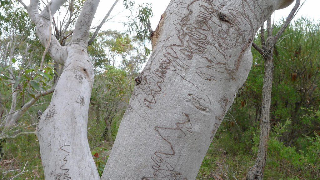
The Upper Murrumbidgee River is a special place, with rich biodiversity, cultural heritage and communities keen to protect and restore the social and environmental assets the region contains. Our projects in this stretch of river are varied, and include adventurous volunteering, fish habitat creation, riparian revegetation, erosion control and community engagement. Our overarching focus is on connecting riparian habitat along the river as it has been historically cleared, and heavily impacted by erosion and large amounts of sand deposition.
We like to protect what is in good condition first, and then link those areas to enable species like fish to move up and down the river. To do this we are improving connectivity between the high quality habitats of the Cooma, Bredbo and Colinton Gorges which open up into floodplain valleys that are used for a variety of agricultural, recreational and residential purposes. Together with landholders we are removing weeds, stabilising banks and planting native vegetation. By addressing these issues in the Bumbalong Valley, we are creating a continuous 40km river corridor connecting both Gorges. Revegetation works in this part of the reach are also helping to protect and extend an old growth Eucalyptus viminalis floodplain woodland remnant. Some of the trees in this remnant are estimated to be up to 300 years old.
A similar situation exists in a stretch of river between the Colinton (in NSW) and Gigerline Gorges (in the ACT) in an area known as the Boathole/Angle Crossing area, with degradation of riparian corridor due to the infestation of woody weeds reducing riparian condition along the river. With funding from the NSW Environmental Trust we are now extending our efforts to include the Strike-a-Light River, where we will stabilise the upstream catchment to reduce inputs of sand sediment at source, addressing the cause of the problem rather than remediating it downstream. Another site is at Bush Heritage Australia’s Scottsdale Reserve, where we will try to re-establish an area of river tussock (Poa labillardieri) grassland. Such grasslands are naturally found along the valley floors and have important stabilising, filtering and habitat values. Unfortunately these grasslands have in the past been extensively cleared on alluvial floodplain areas of the upper Murrumbidgee.
Links are provided below to our current suite of activites in the upper Murrumbidgee. Our ongoing works to improve the upper Murrumbidgee River will help protect and enhance the habitat of Murray cod, Macquarie perch, Murray River crayfish, Water rats (otherwise known as Rakali), Platypus and Eastern long necked turtles, which are all known in the project area. If you know this beautiful part of the world, or perhaps even have the great luck to live there.
Upper Murrumbidgee River Project Area


Project Timeline:
Outcomes achieved so far:
![]()
45 landholders involved
![]()
Working across 50 sites
![]()
50km of riparian area fenced
![]()
85ha of riparian area protected and 44ha revegetated
![]()
Planting of 40,000 plants
![]()
20 erosion control sites
![]()
277ha of weed control
![]()
many activities, 1000+ people engaged
South-East Bushfire Recovery Program
Working together with South-East Local Land Services we have prepared a Riparipan Real Estate Guide on Managing Blackberries around Waterways, along with an accompanying film and workshop. Blackberries are widespread weeds in Australia – noxious in all states and territories and listed as a Weed of National Significance. Post-fire they can really take off so this guide is timely given the 2020 bushfires that swept across a lot of Australia.

Recovering our Rivers – ‘After the Fire’
With support from The Caterpillar Foundation, Greening Australia and the Australian River Restoration Centre are working together to support andholders as they grapple with the immense damage sustained to their properties as a result of a fire storm, followed by a mass erosion event, which swept through parts of the Upper Murrumbidgee in 2020. We will be assisting landholders by installing erosion structures to prevent further high amounts of sediment and ash entering the river. We already have sediment plumes in the river post-fire, with the consequent problems of smothering fish habitat, reducing water quality and threatening decades of river restoration work. ‘After the Fire’ will also be working in areas of the river that were not directly impacted by the fire but, with the advent of rain, are likely to be choked with ash and sediment flowing downstream.

Murrumbidgee Maccas Project
As part of a Local Land Services initiative called the ‘Reaching for Recovery of the Endangered Macquarie Perch’ project, we are delighted to be working with landholders on the Murrumbidgee River to control access of domestic livestock, provide alternate water, remove weeds and revegetate 11.6ha of targeted riparian and instream habitat.
Our work will make a valuable contribution to recovering Macquarie Perch populations in our region. The threats this fish currently experiences are chronic, cumulative, varied and widespread. This project, initiative by Local Land Services in partnership with NSW Department of Primary Industry and Fisheries, will develop a detailed regional action and monitoring plan to guide future efforts toward long-term population stability.
 sml")

Get Involved:
If you would like to know more about this project and get involved, contact the Project Coordinator Antia Brademann:
Antia Brademann, UMDR Facilitator:
✉️upperbidgeereach@gmail.com
📞0429 778 633
Lori Gould:
✉️lori.gould@arrc.com.au
📞0439 030 058
If you would like to keep up to date with our work then please subscribe to the Australian River Restoration Centre’s free e-newsletter below as this will advertise any upcoming activities.
