This region was an important meeting place, which means that it wasn’t just inhabited by one particular Aboriginal group, but had many. We recognise the Mulwaree, Wollondilly, Wiradjuri, Gundungurra, Dharrook, Tharawal, Tarlo, Pajong, Parramarragoo, Cookmal, Burra Burra, Lachlan and Ngunawal people. We acknowledge their continuing connection with, and knowledge about land, waters and community. We pay our respects to them and their cultures; and to Elders past, present and emerging.
Adapted from: Welcome to Country & Acknowledgement of Country – Creative Spirits
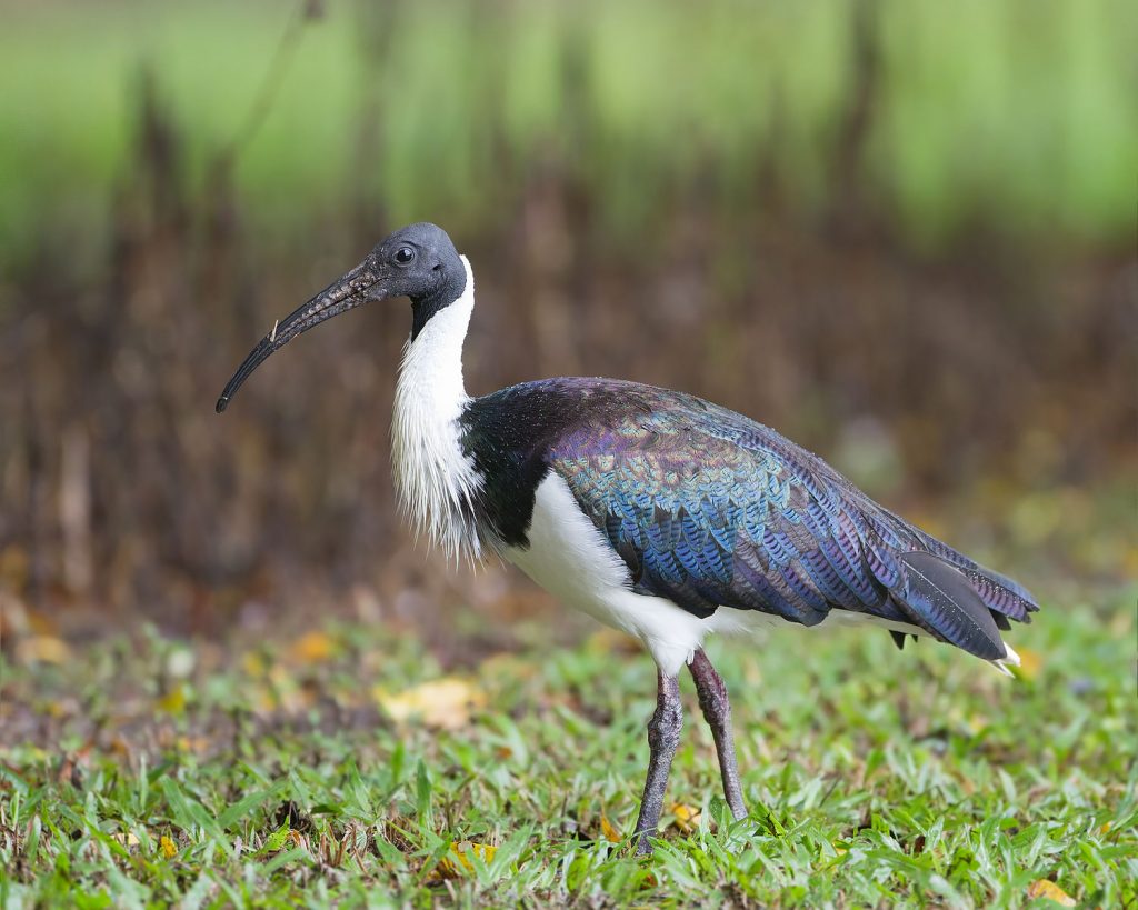
River Dreaming image (right). Artist: Richie Allen (Ngunnawal/Kamilaroi), Traditional Aboriginal Owners Corporation.


“You want to be the pebble in the pond that creates the ripple for change”
– Tim Cook
Why Mulwaree?
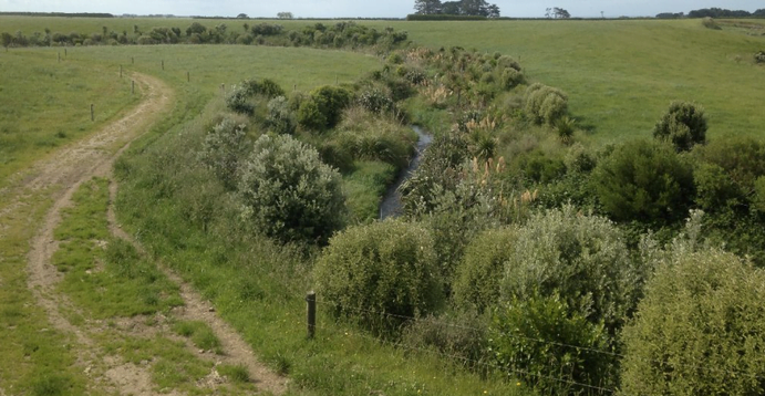
The Mulwaree Ponds area is located near Goulburn in the southern tablelands of New South Wales. It is an important system as it is a relatively intact ‘chain of ponds’, which dominated south eastern Australia prior to European settlement.
Many of these systems were drained for farming (either on purpose or due to changed land management practices) and often sown with shallow-rooted pasture, resulting in a loss of wetland vegetation diversity and erosion, exacerbated by the hoof or the plough. This dried out the landscape, reduced plant diversity and took many of the ecosystem services including such as water filtration and ecosystem function. These systems, which once acted like kidneys or giant landscape sponges, were reduced to little more than eroding drains. We are fortunate, however, that this has not been the case for much of the Mulwaree Ponds area, and while there are some impacts from agriculture and settlement, the system is in a state where recovery is possible.
Mulwaree Project Area

The Mulwaree system is unique in that it contains large-scale ponds (some up to 7 m deep) and, in its natural state, swampy preferential flow paths that connect the ponds during rain. Water flow is connected to the local floodplain aquifer which maintains the water level in the ponds even during drought. Over the last few decades, these connecting flow paths between the ponds have become channelised, with these channels becoming enlarged via incision and bank erosion processes. When high flow occurs, energy is concentrated in these channels, causing further erosion and channel enlargement. These threatening processes have the potential to lower pond water levels, and may eventually consume the ponds, destroying the hydrology and geomorphology of the system. The loss of one of the last remaining large-scale chain-of-ponds systems is something we can now prevent from occurring with our Rivers of Carbon – Mulwaree project prioritising the rehabilitation of this special place.
The Rivers of Carbon – Mulwaree project’s objective are to increase:
- management of uncontrolled stock access to waterways/swampy meadows.
- diverse riparian vegetation.
- landholder capacity to protect and restore waterways/swampy meadows.
There will be a particular focus on arresting channelisation of the Mulwaree Ponds system and increasing connectivity between good quality chain of pond areas. Tributaries delivering high levels of sediment into the system will also be targeted.
We are also really pleased to have Kirstie Fryirs and team from Macquarie University partnering with us to investigate further how this chain of ponds systems function.


Project Timeline:
Outcomes achieved so far:
![]()
2 landholders involved
![]()
2.96kms of riparian area fenced
![]()
4.2ha of riparian area protected
![]()
Planting of 1,040 plants


Source Water Linkages:
Rivers of Carbon Mulwaree is an extension of our Rivers of Carbon Source Water Linkages project funded by our partners WaterNSW. The project was developed in recognition of the importance of the Mulwaree Ponds region, and the need for a smaller, targeted effort working with a few landholders to protect and restore this valuable chain of ponds system. You can read more about Source Water Linkages by following this link.
Downloadable resources:
Report on the geomorphic condition, and protection and rehabilitation priorities for Mulwaree chain-of-ponds

Please contact Kirstie Fryers at kirstie.fryirs@mq.edu.au for more information.


Related project updates:


Partnership:
This is a new collaborative initiative supported by WaterNSW, South East Local Land Services, Greening Australia and Macquarie University. All partners will manage their own aspects of the program with the Australian River Restoration Centre coordinating the overall project. Lori Gould and Lucy Wenger are the key contacts for this project and they would love to hear from you.
Lori Gould, RoC Program Manager:
✉️lori.gould@arrc.com.au
📞0439 030 058
Lucy Wenger, Greening Australia:
✉️lwenger@greeningaustralia.org.au
📞0439 030 059
If you would like to keep up to date with our work then please subscribe to the Australian River Restoration Centre’s free e-newsletter below as this will advertise any upcoming activities.
")