![]() Australia’s wetlands operate on a boom and bust cycle, when they flood they can attract thousands of waterbirds, when they dry, the birds disappear, only to return with the next flood. The Feather Map of Australia project aims to work out where the birds come from and where they go after the flood.
Australia’s wetlands operate on a boom and bust cycle, when they flood they can attract thousands of waterbirds, when they dry, the birds disappear, only to return with the next flood. The Feather Map of Australia project aims to work out where the birds come from and where they go after the flood.
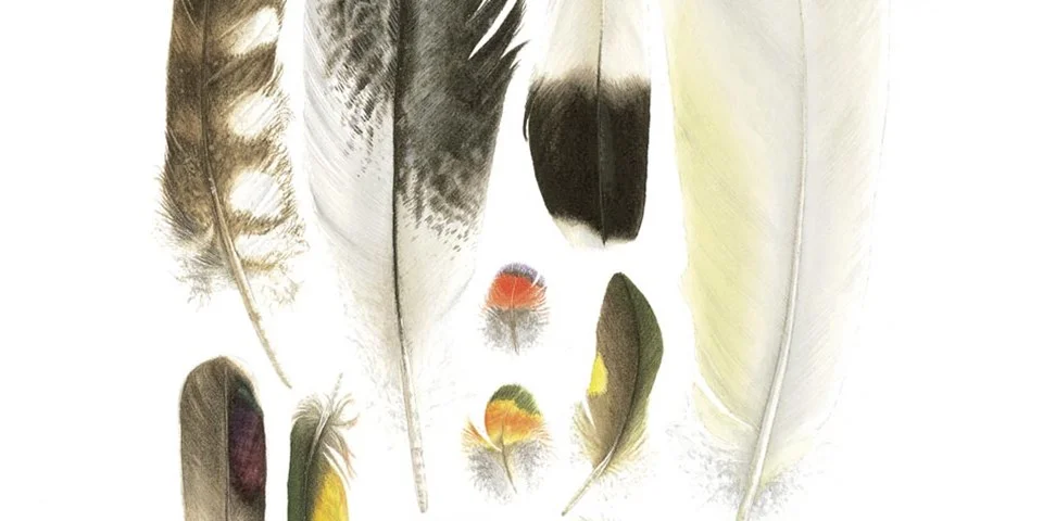
The Feather Map project will collect waterbird feathers from wetlands around Australia. These feathers will be analysed for stable isotopes and mineral elements that are incorporated into feathers through food.
These analyses will identify the differences in feathers from different parts of Australia, creating a Feather Map.
The Feather Map will be used to track the movement of waterbirds around Australia from wetland to wetland based on the stable isotope and mineral elements in the feathers. This project is an Australian first and provides a new method of tracking waterbirds without the need for capturing birds.
The more feathers we have the better the map! Kate needs your help so if you are keen to collect some feathers please get in touch with her.
For more information contact Kate.Brandis@unsw.edu.au or read the 2021 journal article.
Feature image South Australia Museum